
Kanchenjunga Circuit Trek Overview
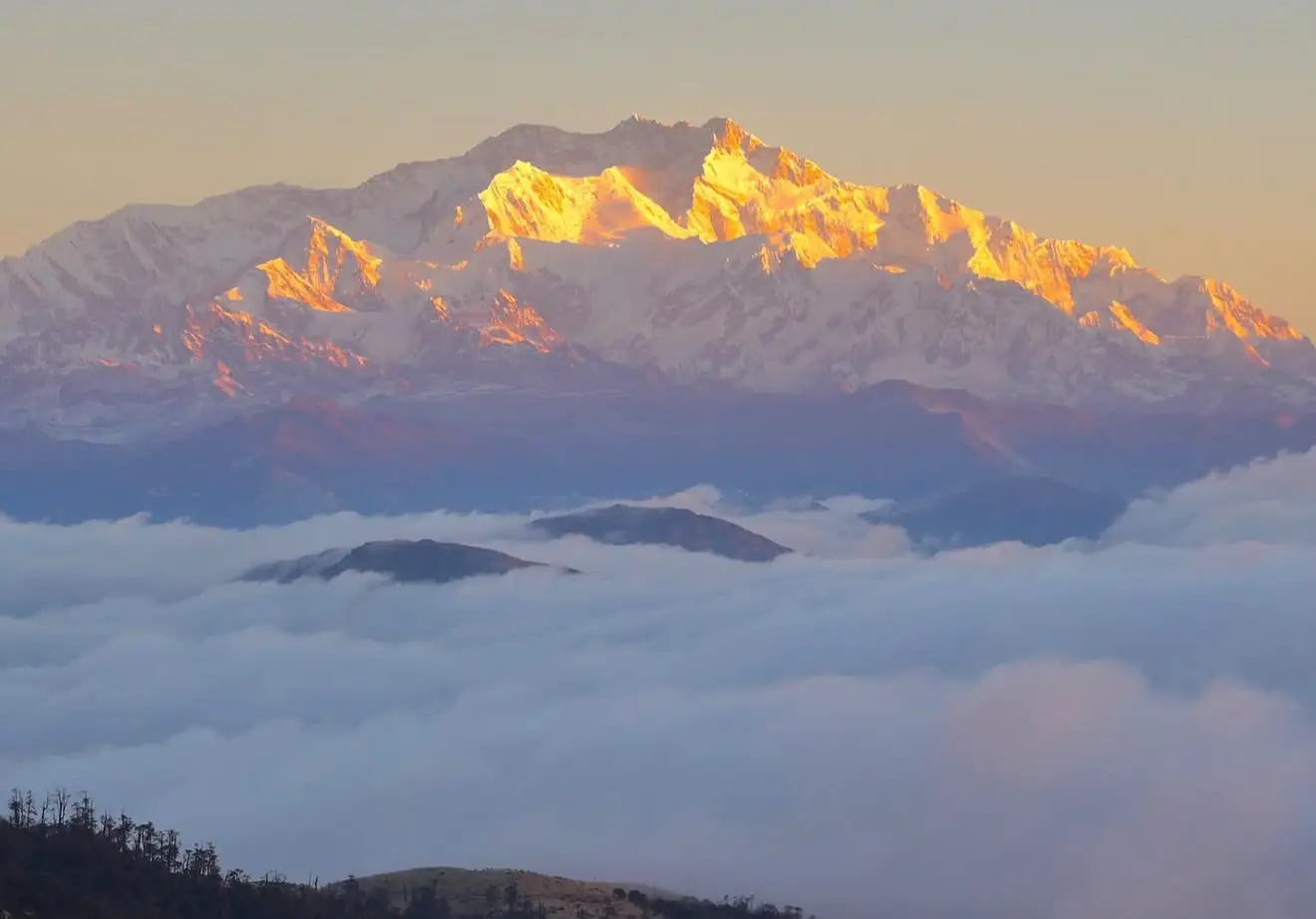
The Kanchenjunga Circuit Trek takes you around the base of the world’s third highest mountain in the far eastern corner of Nepal, through a region that sees a small fraction of the trekkers who walk to Everest Base Camp or around the Annapurna Circuit in any given season. This is a genuine circuit rather than an out-and-back trek: the route climbs to Kanchenjunga North Base Camp at Pang Pema, crosses a chain of high passes above 4,000 metres, then drops into the separate southern valley that leads to Kanchenjunga South Base Camp at Oktang, before descending through a completely different set of villages to a different roadhead. You see the mountain from two sides, on trails that are still walked by relatively few outsiders each year.
At Next Trip Nepal, we treat the Kanchenjunga Circuit as a serious, remote, high-altitude trek, not a scenic add-on to a standard itinerary. It shares some of the same demands as the Manaslu Circuit Trek, restricted area status, a mandatory guide, and a high pass crossing late in the trip, but the eastern region is quieter, the teahouse network is thinner in places, and the logistics from Kathmandu take an extra day or two simply to reach the trailhead. This page sets out exactly what that involves: the route, the permits, the realistic day-by-day itinerary, current costs, and the honest assessment of the trek’s difficulty, based on how the route is actually being run in 2026.
Kanchenjunga Circuit Trek Cost 2026 and 2027
The Kanchenjunga Circuit Trek cost depends on the number of travelers in your group. Our price is based on group size, with a lower per-person rate available for larger groups.
11 Day Kanchenjunga Circuit Trek Outline Itinerary
This is the short version of the full day-by-day Kanchenjunga Circuit Trek itinerary below. It gives you a quick overview of the route, approximate distance, travel or walking time, and overnight elevation before reading the complete itinerary.
Route Overview: How the Circuit Actually Works
The trek starts with a flight to Bhadrapur in the eastern lowlands, followed by a long road journey up into the hills toward Taplejung, the district headquarters and the last proper town before the trail narrows. From Taplejung, a jeep road now continues to Sekathum, cutting out roughly two days of lower-valley walking that older Kanchenjunga itineraries used to include. From Sekathum, the trek proper begins, climbing steadily through Amjilosa, Gyabla, and Ghunsa, the last large village before the high country.
Ghunsa is the hinge point of the whole circuit. From here, the route splits: one branch continues north through Kambachen and Lhonak to Pang Pema and Kanchenjunga North Base Camp, and the other, after returning to Ghunsa, climbs east over the Sele La, Sinion La, Mirgin La, and Sinelapche La ridge system into the separate Simbuwa Khola valley that leads to Cheram, Ramche, and Oktang, the South Base Camp viewpoint. Because both sides connect back through Ghunsa and then diverge again toward different valleys, the trek genuinely closes a loop rather than retracing the same trail twice, which is what distinguishes a Kanchenjunga Circuit Trek from a simple Kanchenjunga Base Camp Trek that only visits one side.
After Oktang, the descent continues south through Tortong and Yamphudin, a different set of villages from anything seen earlier in the trip, before reaching a roadhead that has, in recent years, extended jeep access further into this southern valley than it once did. From there, it’s a road journey back to Bhadrapur and a short flight back to Kathmandu.
Kanchenjunga Trek Distance and Altitude
The Kanchenjunga Circuit Trek covers around 200–220 km of walking, depending on the exact route, side trips, and how much of the road section is covered by jeep. Different trekking companies may quote different total distances, so it is worth checking what is included when comparing itineraries.
The highest point of the trek
The trek reaches its highest point at Pang Pema (Kanchenjunga North Base Camp), at approximately 5,140 metres (16,864 ft). This is higher than Oktang, which is around 4,730 metres (15,518 ft), and higher than the passes crossed on the Sele La section.
Which section is more challenging?
Pang Pema is the highest point, but the Sele La pass crossing is one of the most demanding sections of the trek. The route involves steep climbs, several high passes, and a long walking day. For this reason, proper acclimatization and a steady pace are important throughout the Kanchenjunga Circuit Trek.
Note: Trekking distances can vary between itineraries because of different side trips, trail measurements, and road access. Always check whether the quoted distance includes both Kanchenjunga Base Camp routes and the main excursions.
Kanchenjunga Trek Difficulty, Explained Honestly
We consider the Kanchenjunga Circuit Trek a strenuous high-altitude trek. That is based on the actual conditions trekkers experience on the trail: long walking days, sustained time at altitude, basic facilities in the remote sections, and a demanding high-pass crossing. It is a rewarding route, but it should not be approached like a short or easy teahouse trek.
1. Altitude is the biggest challenge
The difficulty increases considerably once you reach Ghunsa. From there, the route stays above roughly 3,400 metres for several days and reaches more than 4,000 metres around Kambachen and Lhonak. You also spend nights at high elevations, including Lhonak at about 4,780 metres and Ramche at around 4,580 metres. The body has less oxygen available at these elevations, so even a walking day that looks manageable on paper can feel much harder than the same distance at lower altitude.
2. Remote sections require more preparation
The Kanchenjunga region is much quieter and more remote than Nepal’s busiest trekking routes. Once you move beyond the larger villages, accommodation becomes simpler and food choices are more limited. There are also fewer trekkers and fewer immediate alternatives if weather or trail conditions cause a problem. In practical terms, this means you need to be comfortable with basic teahouse conditions and prepared to spend several days away from the conveniences available in more developed trekking areas.
3. The Sele La crossing is the toughest day
One of the most demanding days comes when crossing from the Sele La area toward Cheram. The route passes over the Sele La, Sinion La, Mirgin La and Sinelapche La passes before descending toward Cheram. Depending on trail and weather conditions, this can be around 8–10 hours of walking, with repeated climbs and descents at high elevation. There is little room to rush this section, so starting early and maintaining a steady pace is important.
4. Weather can change the plan
Conditions around the high passes can change quickly, particularly during periods of snow, strong wind, or poor visibility. This is why we prefer having some flexibility in the itinerary rather than treating every day as fixed. A contingency day before the high-pass crossing gives the guide some room to adjust the schedule if the weather is not suitable for crossing safely.
Who is the Kanchenjunga Circuit Trek suitable for?
You do not need to be a professional mountaineer, but you should be comfortable walking 5–8 hours on consecutive days, including uphill and downhill sections. Previous experience with multi-day trekking is strongly recommended. Good preparation, a sensible pace, proper acclimatization, and listening to your guide become increasingly important as the trail climbs above 4,000 metres.
Our practical advice: Don’t judge this trek only by the number of kilometres walked each day. The combination of altitude, terrain, weather, remoteness and repeated long days is what makes the Kanchenjunga Circuit challenging. With proper preparation and enough time to acclimatize, it is a realistic trek for experienced and physically prepared hikers.
Best Time for Kanchenjunga Circuit Trek
The best time to trek the Kanchenjunga Circuit is generally autumn and spring. These seasons offer the most practical combination of weather, trail conditions, mountain views, and access to the high passes. Autumn is usually the first choice, while spring offers warmer days and beautiful rhododendron forests.
Autumn: Late September to November
Autumn is the most popular time for the Kanchenjunga Circuit, particularly October and early November. The summer monsoon has usually finished, leaving the trails drier and mountain visibility much better than during the rainy season. Clear mornings often provide excellent views of Kanchenjunga and the surrounding peaks.
October is often the most reliable month, but it is important not to treat it as a guarantee of perfect weather. The high passes are above 4,000 metres, and conditions can still change quickly. A little flexibility in the itinerary is useful when crossing the Sele La section.
Spring: March to May
Spring is the second-best season for the Kanchenjunga Circuit. From March onward, temperatures become more comfortable at lower elevations, while the forests are particularly attractive as rhododendrons begin to bloom. April and May can be especially enjoyable in the lower and middle sections of the route.
Mountain views can be less consistent than in autumn. As temperatures rise, clouds can build during the afternoon, so early mornings are often the best time for clear photographs and long-distance mountain views.
Winter: December to February
Winter can bring clear skies and impressive mountain views, but the higher sections become much more difficult. Temperatures at Lhonak, Ramche, and around the high passes can be extremely cold, particularly overnight.
Snow is the main concern. Fresh snowfall can make the Sele La, Mirgin La and surrounding high-pass section difficult or temporarily impossible to cross. There is no fixed calendar date when the passes automatically close, so winter trips should be planned according to current snow and weather conditions rather than assuming the crossing will be available.
Monsoon: June to August
We do not recommend the Kanchenjunga Circuit during the main monsoon months. Heavy rain can make the lower trails muddy and slippery, while landslides and road conditions can affect access to the starting and ending points of the trek.
Leeches are also common in the wetter forest sections, and clouds frequently obscure the mountain views. Since the main attraction of the circuit is the combination of remote landscapes and close views of Kanchenjunga, the monsoon generally does not provide the conditions most trekkers are looking for.
Our practical recommendation
For the best balance of weather and trail conditions, we recommend October to early November. March to May is another good option, especially if you want to see rhododendron forests in bloom. Whatever month you choose, allow some flexibility around the high passes because conditions at 4,000–5,000 metres can change faster than the weather forecast suggests.
Kanchenjunga Trekking Permits
The Kanchenjunga Circuit Trek passes through a restricted trekking area and the Kanchenjunga Conservation Area, so you need more than a standard trekking permit. The paperwork is normally arranged in Kathmandu through a registered trekking agency before you start the trek.
Kanchenjunga Restricted Area Permit (RAP)
The Kanchenjunga Restricted Area Permit is required because parts of the route fall within Nepal’s designated restricted area. The current Department of Immigration schedule lists the fee at USD 20 per person per week for the first four weeks, increasing to USD 25 per person per week after four weeks. :contentReference[oaicite:1]{index=1}
The permit is arranged through the trekking agency as part of the preparation for the trek. Your permit details must match the approved trekking itinerary and the restricted area route you are travelling.
Kanchenjunga Conservation Area Permit (KCAP)
The Kanchenjunga Conservation Area has a separate entry permit. For foreign visitors, the current Nepal Tourism Board rate is NPR 2,000 per person per entry. The published rate for SAARC nationals is NPR 500, while Nepali citizens are currently listed at NPR 100. :contentReference[oaicite:2]{index=2}
TIMS Card
TIMS should also be included when planning the Kanchenjunga Circuit Trek. Nepal Tourism Board’s current TIMS information specifically lists Kanchenjunga Base Camp via Sele La Pass, Kanchenjunga Basecamp Trek, and Kanchenjunga Base Camp Nango Pass Trek among the routes requiring a licensed guide and agency-issued TIMS card. :contentReference[oaicite:3]{index=3}
Licensed Guide Requirement
A licensed trekking guide is required for the Kanchenjunga trekking routes covered by the current regulations. This is particularly important on a remote route like Kanchenjunga, where the trail becomes much quieter beyond the main villages and high-altitude sections require careful planning. Nepal Tourism Board’s current guidance lists a licensed guide requirement for Kanchenjunga routes. :contentReference[oaicite:4]{index=4}
Can You Trek Kanchenjunga Solo?
Yes, the rules changed in March 2026. Nepal’s Department of Immigration removed the previous minimum requirement of two foreign trekkers for restricted-area permits. Individual foreign travellers can now obtain a restricted-area permit, provided they are accompanied by a licensed guide and the trek is arranged through a registered agency. :contentReference[oaicite:5]{index=5}
Important: “Solo permit” does not mean you can trek the restricted area completely alone. The guide requirement remains in place.
What We Arrange for Your Trek
When you book the Kanchenjunga Circuit Trek with us, we handle the required trekking paperwork before you leave Kathmandu. This includes checking your passport details, preparing the trekking documents, arranging the required permits, and making sure the itinerary matches the approved route.
Permit fees can change. We always confirm the applicable government rates and requirements when processing your trek rather than relying on an old figure published online.
Transportation for the Kanchenjunga Circuit Trek
Getting to Kanchenjunga takes time. Unlike the Everest and Annapurna regions, the trailhead is not close to a major city, so the journey into eastern Nepal is part of the adventure. In 2026, road access has made the trek shorter on foot than older itineraries, but the driving sections can still be long and rough.
Kathmandu to Bhadrapur
Most itineraries begin with a domestic flight from Kathmandu to Bhadrapur. The flight takes roughly 45–50 minutes. Bhadrapur is in the eastern Terai and is the practical air gateway for the Kanchenjunga region.
Bhadrapur to Taplejung
From Bhadrapur, the journey continues by road through the hills towards Phidim and Taplejung. Depending on the road condition and the itinerary, this section can take most of a day or may be split with an overnight stop. We allow realistic driving time because the road becomes narrower and rougher as you get deeper into the mountains.
Road access has changed the trek
One of the biggest practical changes on the Kanchenjunga route is improved road access. Jeeps can now reach Sekathum on the northern approach and Yamphudin on the southern side, allowing trekkers to avoid some of the lower-altitude walking used in older itineraries. The exact roadhead can change with local road conditions, so the final driving plan is normally confirmed shortly before departure.
What to expect on the roads
The roads closer to Bhadrapur are generally easier, while the mountain sections around Taplejung and Yamphudin can be rough, narrow and slow. Rain can make conditions worse, particularly during the monsoon period. A journey that looks short on a map can therefore take considerably longer than expected. For this reason, we do not build the itinerary around best-case driving times.
Accommodation on the Kanchenjunga Circuit Trek
Accommodation has improved considerably compared with the old camping-only days, and most of the main circuit can now be completed using basic teahouses and lodges. However, the standard varies greatly from village to village. The higher you go, the more basic the accommodation becomes.
Lower Sections
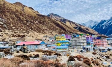
Villages such as Sekathum, Amjilosa, Gyabla and Ghunsa have basic family-run teahouses. Rooms are generally simple, with shared bathrooms and basic bedding. Ghunsa usually offers the widest choice of accommodation on the northern route.
Higher Sections
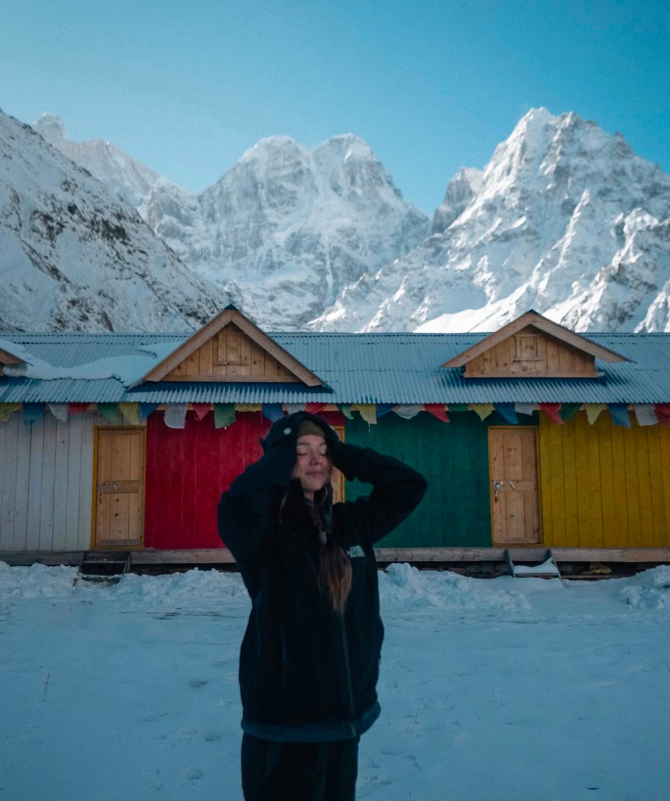
Above Ghunsa, accommodation becomes much simpler. Kambachen, Lhonak, Sele La, Cheram and Ramche have basic shelters or teahouse-style accommodation depending on the current season and route conditions. Facilities should not be compared with the developed lodge networks of Everest or Annapurna.
Bring a good sleeping bag
Even when a blanket is available, nights at Lhonak, Ramche and other high settlements can be very cold. A warm sleeping bag suitable for the season is an important part of your equipment. We recommend carrying one rather than relying entirely on locally provided blankets.
Food on the Kanchenjunga Circuit Trek
Food on Kanchenjunga is simple, filling and closely linked to what can realistically be carried into the remote valleys. You will find familiar Nepal trekking meals in most teahouses, but the choice becomes smaller as you gain altitude.
Common meals
Dal bhat is particularly useful on long trekking days because it is a substantial local meal and is commonly available for a second serving. Above Ghunsa, expect fewer choices and simpler preparation. Fresh vegetables become less predictable as you move into the higher valleys because supplies have to be transported from below.
Dietary requirements
If you are vegetarian, vegan or have a food allergy, tell your guide before starting the trek. Vegetarian food is generally manageable, but the number of choices becomes smaller at higher elevations. For strict allergies, carrying a few personal backup foods is sensible because remote teahouses cannot always guarantee the same level of food separation as restaurants in Kathmandu.
Drinking Water on the Trek
Do not assume that clear mountain water is automatically safe to drink. Water should be treated before drinking. Teahouses commonly provide boiled water for purchase, while a reliable filter or purification tablets give you another option when you are walking between villages.
A practical approach
Carry a reusable water bottle or hydration system and treat your drinking water. Bottled water becomes less practical and more expensive as you go higher, and carrying a reusable bottle helps reduce the amount of plastic waste left along a remote route.
Internet, Mobile Network and Electricity
Connectivity is one of the areas where you should lower your expectations on the Kanchenjunga Circuit. Nepal Telecom generally has the better reputation for coverage in remote trekking areas, but signal is patchy and can disappear for long stretches. Do not plan the trek around having daily mobile service or Wi-Fi.
Mobile Signal
Coverage varies by location. NTC is generally the better choice for remote eastern Nepal, but you should expect periods without signal.
Wi-Fi
Wi-Fi is limited compared with Everest and Annapurna. Where available, it may be slow and subject to an additional charge.
Charging
Charging facilities vary by lodge and are increasingly dependent on solar power in the higher villages. A power bank is strongly recommended.
Bring a power bank
Charge your phone, camera and power bank whenever electricity is available. On a remote trek like Kanchenjunga, it is better to assume that you may spend several days without reliable charging or mobile coverage.
Toilet and Shower Facilities
Bathroom facilities are basic, particularly once you are above Ghunsa. Most teahouses use shared toilets rather than private en-suite bathrooms, and the exact standard depends on the village and the lodge you stay in.
Showers
Hot showers may be available at lower elevations for an additional charge, often using heated water rather than a standard hotel-style shower. Facilities become increasingly limited at higher elevations, so do not expect a hot shower every day.
Small things that make the trek easier
Kanchenjunga Trek Weather by Season
Weather changes significantly with elevation on the Kanchenjunga Circuit. A warm afternoon in the lower valleys can feel completely different from conditions above 4,000 metres. The figures below are general planning ranges rather than a forecast for a particular village or trekking day.
Usually the most stable season, with clearer mornings and generally good mountain visibility after the monsoon.
Comfortable at lower elevations, with rhododendron bloom in the forests. Mornings are often the best time for mountain views.
Very cold at high elevations. Snow can affect the high passes and may make some sections difficult or temporarily impossible.
Wet and humid, with reduced mountain visibility, muddy trails and possible landslides on the road approaches.
Important: These temperatures are broad regional estimates. Conditions at 4,000 metres and above can be considerably colder than in the lower valleys, and weather can change quickly. Always check current conditions with your trekking agency and guide before departure.
Altitude and Acclimatization
Altitude is one of the main factors that determines how difficult the Kanchenjunga Circuit feels. The route gradually climbs from the lower valleys to elevations above 4,000 metres, with the highest point at Pang Pema reaching approximately 5,140 metres. The itinerary therefore includes dedicated acclimatization days rather than trying to gain altitude too quickly.
Ghunsa · 3,450 m
After reaching Ghunsa, we spend an additional night here to allow the body to adjust before continuing higher. A short hike around the village or to a higher point can be used for gradual acclimatization before returning to sleep at Ghunsa.
Kambachen · 4,050 m
Kambachen is another important acclimatization stop because the trail is already above 4,000 metres. A short daytime hike to a higher elevation followed by returning to Kambachen for the night helps the body adjust before moving towards Lhonak.
How we approach altitude on the trek
We use a gradual pace and avoid treating acclimatization days as ordinary rest days. When conditions allow, a controlled walk to a higher elevation followed by returning to the same sleeping altitude gives trekkers some additional time to adjust. The goal is not to walk as high as possible, but to acclimatize gradually without exhausting yourself.
Recognizing altitude sickness
Headache, nausea, dizziness, unusual tiredness, reduced appetite and disturbed sleep can occur after gaining altitude. These symptoms should not simply be ignored or treated as something you have to push through. Tell your guide as soon as you notice anything unusual so your condition can be monitored.
Important: If symptoms become severe, particularly difficulty walking, confusion, severe shortness of breath or worsening symptoms despite rest, the priority is to descend and seek appropriate medical assistance. Continuing higher is not a safe response to worsening altitude illness.
The higher sections of the trek
After acclimatizing at Kambachen, the route continues to Lhonak at approximately 4,780 metres. From Lhonak, the day trip to Pang Pema takes you to around 5,140 metres, the highest point of the trek. Later, on the southern side of the circuit, you reach Ramche at about 4,580 metres before the excursion towards Oktang.
These elevations are reached after the earlier acclimatization stages, but they still require a sensible pace and careful monitoring. Feeling strong at Kambachen does not guarantee that you will have no symptoms at 4,700–5,100 metres.
Crossing the High Passes: Sele La, Sinion La, Mirgin La, and Sinelapche La
The section of the trek between Ghunsa and Cheram is often the part trekkers underestimate before they arrive, and it deserves its own explanation rather than a single line in the itinerary. Unlike a single high pass such as the Thorong La on the Annapurna Circuit or the Larkya La on the Manaslu Circuit, the Kanchenjunga route crosses a connected ridge system of four named passes, Sele La, Sinion La, Mirgin La, and Sinelapche La, in sequence, mostly on one long day.
Reported elevations for these individual passes are inconsistent across published sources, more so than almost any other figures on this route, and we’d rather say that plainly than present a false sense of precision. Sele La is most commonly cited around 4,290 metres, though some sources place it as low as 4,170 m or as high as roughly 4,480 m. The other three passes are documented even less consistently, with figures for Sinion La, Mirgin La, and Sinelapche La each falling somewhere in the 4,170 to 4,660 metre range depending on the source. What’s consistent across every account of this crossing is the character of the day itself: long, high, exposed, and weather sensitive, typically eight to nine hours of walking with significant undulation rather than a single steady climb and descent.
Because this crossing is the most weather-dependent day of the entire trek, our itinerary includes a contingency day at the Sele La staging point before attempting the crossing. If conditions are favorable, this day simply isn’t needed and the group moves straight through. If fresh snow or poor visibility make the crossing unsafe, having that buffer already built into the schedule, rather than trying to compress it into an already tight itinerary, is what allows the crossing to be attempted safely rather than rushed.
Kanchenjunga North Base Camp: Pang Pema
Pang Pema, Kanchenjunga North Base Camp, sits at approximately 5,140 metres and is reached via a side trip from Lhonak, typically as a long day out and back rather than an overnight stay, though a basic seasonal shelter does exist there for parties who plan differently. This is the highest point of the entire circuit, higher than the South Base Camp viewpoint at Oktang and higher than any of the passes crossed later in the trip.
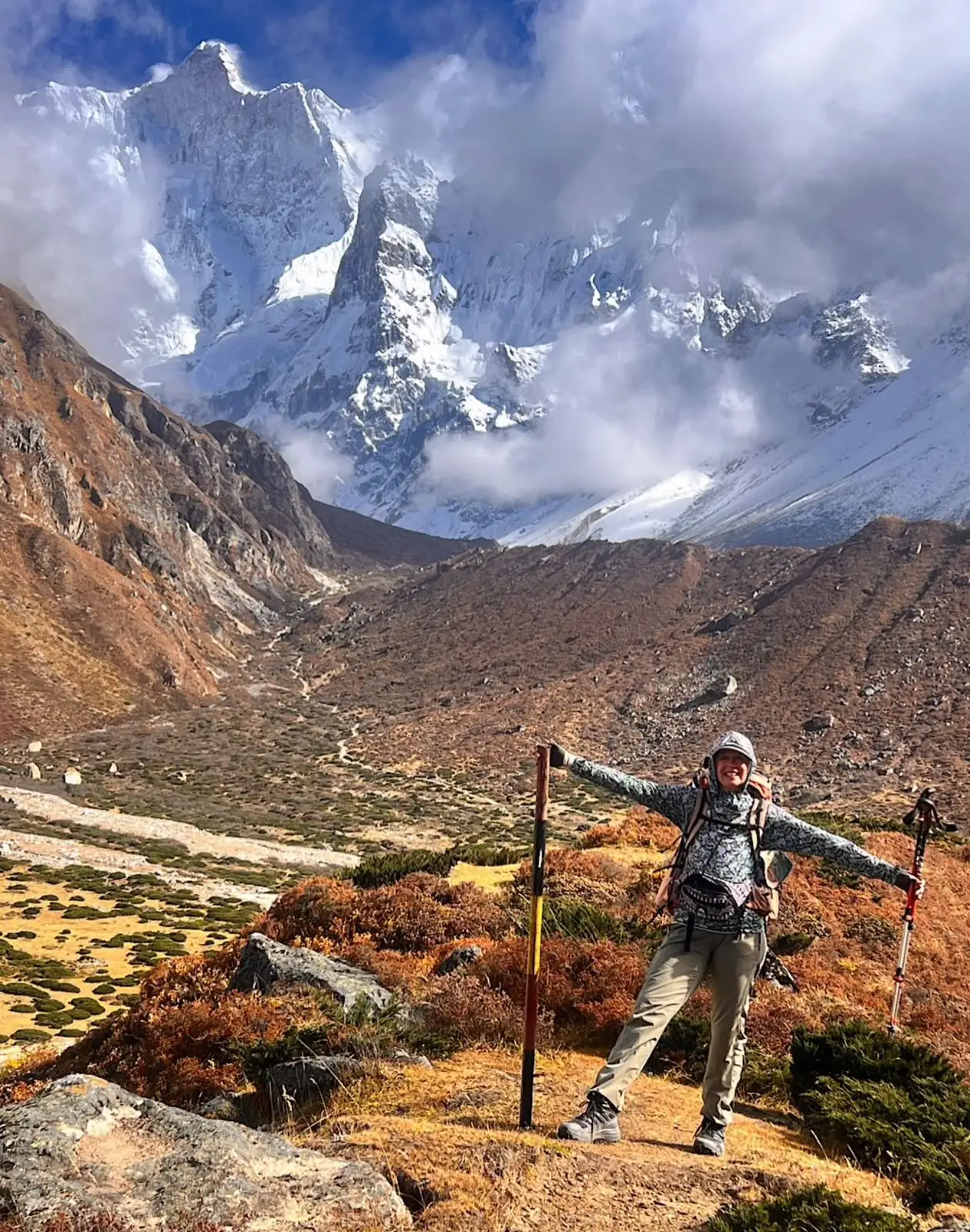
The approach from Lhonak follows the glacial moraine of the Kanchenjunga Glacier, with the north face of Kanchenjunga (8,586 m) dominating the view ahead for much of the walk. This is a genuinely close, unobstructed view of the mountain, one of the clearest reasons trekkers choose the north side of the circuit specifically. Depending on conditions, you may also see Jannu (Kumbhakarna) and several other peaks along the Nepal-Tibet border from points along this approach.
Because Pang Pema is the highest point of the trip, the day carries real altitude risk on top of the cumulative altitude of the days leading up to it, and an early start matters here as much as anywhere on the route, both for weather and for having enough daylight margin on what is a long day at high elevation.
Kanchenjunga South Base Camp: Oktang
Oktang, the South Base Camp viewpoint, sits at approximately 4,730 metres in the separate Simbuwa Khola valley, reached from Ramche after the pass crossing from Ghunsa. This side of the mountain shows a different face of Kanchenjunga from Pang Pema, along with close views of Jannu and Rathong, and a noticeably different valley character, more enclosed and glacial than the broader approach to the north side.
Some itineraries refer to this viewpoint as Oktang, others as the South Base Camp; the terms are used somewhat interchangeably by trekking operators, and neither name should be confused with a full mountaineering base camp used for climbing expeditions. Like Pang Pema, this is a viewpoint trek destination for the purposes of a circuit trek, not a technical mountaineering objective.
Visiting both Pang Pema and Oktang on a single trip is what separates a genuine Kanchenjunga Circuit Trek from a shorter Kanchenjunga Base Camp Trek that only reaches one side. It adds real distance and days to the itinerary, and it’s the main reason this trek runs closer to three weeks than two, but it’s also the reason the circuit has become the more commonly requested version of this trek among trekkers who make the considerable effort to reach this region in the first place.
Kanchenjunga Conservation Area
The trek passes through the Kanchenjunga Conservation Area, one of Nepal’s larger protected areas, established to balance conservation with the needs of the local communities who live within its boundaries, a genuinely different management model from a national park where local settlement is more restricted. The conservation area covers a wide altitude range, from subtropical forest in the lower valleys to high alpine terrain near the passes and base camps, and correspondingly wide biodiversity.
Lower sections of the trail pass through rhododendron, oak, and mixed broadleaf forest, particularly striking in spring bloom, giving way to birch and juniper as elevation increases, and eventually to sparse alpine vegetation and bare rock and moraine near Lhonak and the base camps. The conservation area status directly funds local community projects in the region, which is part of why the conservation area permit fee exists alongside the restricted area permit.
Local Communities and Culture
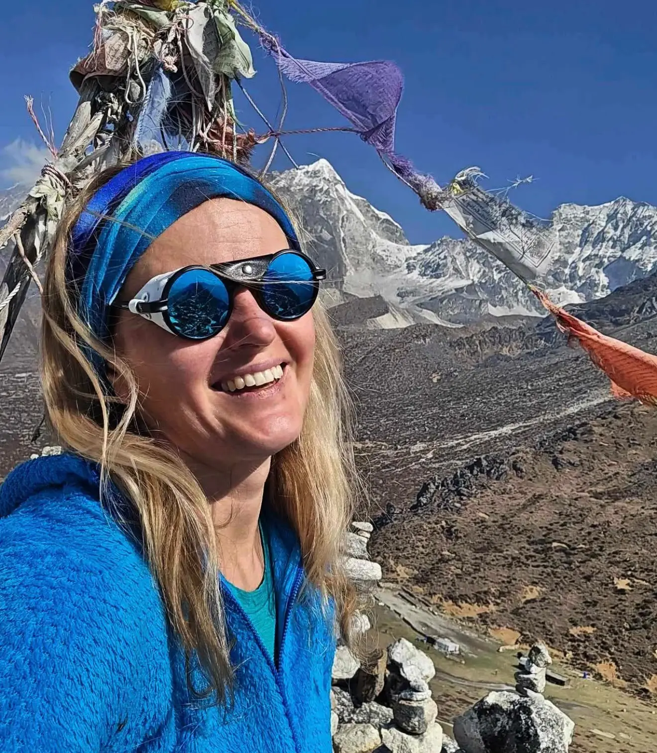
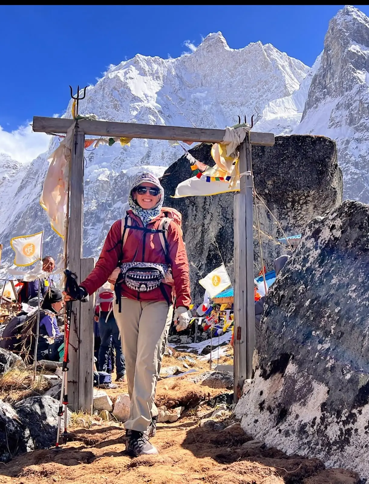
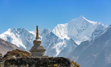
The Kanchenjunga region has a distinct cultural character from Nepal’s more heavily trekked regions. Lower villages, including Sekathum, Amjilosa, and Gyabla, are largely Rai and Limbu communities, ethnic groups more associated with eastern Nepal’s hill regions than with the Sherpa areas of Everest or the Gurung and Manangi communities of Annapurna and Manaslu. Higher up, from Ghunsa onward, the population becomes predominantly Tibetan-influenced Bhotia, with visible Buddhist cultural markers, prayer flags, mani walls, and small gompas, similar in character to what you’d see in Manang or the upper Manaslu valley, though on a considerably smaller scale given how few people actually live in these high settlements.
Ghunsa in particular functions as the cultural and logistical hub of the upper trek, with its own small monastery and a settled community that has adapted its economy substantially around the trekking season, while still maintaining traditional livelihoods including yak herding at the higher pastures. Because visitor numbers here are genuinely low compared to Everest or Annapurna, daily life in these villages is less shaped by tourism than in better known trekking regions, which is part of what makes the cultural experience feel different, not staged for visitors in the way that can happen on busier routes.
Wildlife and Landscape
The Kanchenjunga Conservation Area is home to red panda, though sightings are uncommon given the animal’s shy, forest-dwelling habits, along with Himalayan black bear, blue sheep (bharal) at higher elevations, and, in the most remote and highest sections, a small population of snow leopard, rarely seen but present in the ecosystem. Musk deer and various pheasant species, including the Himalayan monal, inhabit the mid-elevation forest zones.
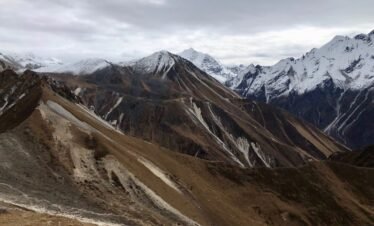
Landscape changes dramatically over the course of the trek. The lower approach through Sekathum and Amjilosa passes through dense, humid forest and terraced hillside farmland. By Ghunsa, the valley opens into a more alpine character, with conifer forest giving way to scattered birch and juniper. Above Kambachen, trees disappear almost entirely, replaced by open moraine, glacial terrain, and the high mountain walls that define the approach to both Pang Pema and, on the other side of the passes, Oktang. Few treks in Nepal show this range of ecological zones as clearly within a single circuit.
Kanchenjunga Trek Packing List
This list focuses on what genuinely matters for this specific trek rather than repeating a generic trekking checklist. Your guide can advise on final adjustments based on your travel dates and current conditions.
Clothing
- Base layers (synthetic or merino wool, not cotton)
- Insulated down jacket, rated for temperatures well below freezing given the nights at Lhonak, Ramche, and the pass crossing
- Waterproof, breathable outer shell jacket and trousers
- Fleece or softshell mid layer
- Trekking trousers, quick drying
- Warm hat, sun hat, and buff or neck gaiter
- Insulated gloves plus a thinner liner pair
- Thermal sleeping socks separate from daytime trekking socks
Footwear
- Broken-in, waterproof trekking boots with good ankle support
- Camp shoes or sandals for evenings at teahouses
- Gaiters, useful for both mud in the lower forest sections and snow near the passes
Sleep and Comfort
- Four-season sleeping bag rated to at least -15°C, given the cold at higher camps and the basic heating in teahouse rooms
- Sleeping bag liner for added warmth and hygiene
- Inflatable sleeping pad, useful as teahouse mattresses become thinner and more basic the higher you go
Health and Altitude
- Personal first aid kit including blister treatment, altitude medication if prescribed by your doctor, and any personal prescriptions
- Water purification tablets or a filter as backup to boiled water
- Diamox or other AMS medication, only if discussed and prescribed in advance by a doctor familiar with your medical history
- Basic pulse oximeter, increasingly common and genuinely useful for monitoring yourself at altitude
Practical Equipment
- Trekking poles, particularly valuable on the pass crossing and on the steep, sometimes loose terrain near Amjilosa and Tortong
- Headlamp with spare batteries, given early starts and limited village lighting
- Power bank, since charging above Ghunsa is solar-only and not always reliable
- Dry bags or bag liners to keep gear dry through the wetter lower sections
- Sunglasses with strong UV protection, essential above the treeline and around the glacial terrain near both base camps
- Sunscreen and lip balm with high SPF
Documents and Paperwork
- Passport with at least six months validity remaining, plus two to three photocopies
- Passport-sized photographs (typically four to six), required for the Restricted Area Permit and Conservation Area Permit applications
- Nepal entry visa, obtainable on arrival at Kathmandu airport or in advance through a Nepali embassy or consulate
- Printed or digital copy of your travel insurance policy, including the emergency contact number for your provider
- A few passport photocopies kept separately from your original passport as backup
Because the Restricted Area Permit and Conservation Area Permit are processed in Kathmandu before departure, we’ll need your passport details and photographs with enough lead time before your trek starts, typically a few working days at minimum, so it’s worth sending these through as soon as your booking is confirmed rather than waiting until you arrive in Nepal.
Kanchenjunga Trek Preparation and Physical Fitness
The Kanchenjunga Circuit is not a trek to attempt without meaningful physical preparation. Daily walking hours regularly run six to nine hours, several days involve sustained altitude gain, and the pass crossing day is long and demanding even for fit trekkers. We recommend building a training routine in the months before departure that combines cardiovascular fitness, such as hiking, running, or cycling, with leg strength work and, ideally, some hill or stair training with a loaded pack similar to what you’ll carry on the trek.
Previous high-altitude trekking experience is a genuine advantage here, though it isn’t an absolute requirement provided you’re realistic about your fitness level and prepared for a longer, more remote trip than something like Everest Base Camp or the Annapurna Circuit. If this would be your first trek above 4,000 metres, we’d encourage an honest conversation with us about whether Kanchenjunga is the right starting point or whether a trek like the Everest Base Camp Trek or Annapurna Base Camp Trek might be a better first step into high-altitude trekking, with Kanchenjunga saved for once you have that experience.
Safety Information
Safety on this trek rests on a combination of proper acclimatization, an experienced guide who knows the route and monitors the group closely, and realistic decision-making around weather, particularly at the pass crossing. Your guide carries basic first aid supplies and is trained to recognize and respond to altitude sickness, and our itinerary is built with acclimatization days and a weather contingency day specifically to reduce the pressure to push through conditions that would be better managed by waiting or adjusting the plan.
Group size and pacing also matter for safety in a region this remote. We keep guide-to-trekker ratios appropriate to the terrain and altitude, and we brief every trekker before departure on realistic expectations for daily distances, altitude symptoms to watch for, and what to communicate to the guide if something feels wrong. Being honest with your guide about how you’re feeling, rather than pushing through discomfort quietly, is one of the most important things you can do for your own safety on this route.
Emergency and Rescue Considerations
Helicopter evacuation is possible from most points along the Kanchenjunga Circuit, but it’s important to understand this honestly rather than assume it works the same way it does on the Everest or Annapurna trails. This region has far less helicopter and rescue infrastructure than those more heavily trafficked corridors, and evacuation is genuinely weather- and terrain-dependent. In poor visibility or high wind, particularly around the pass crossing or the base camp approaches, a helicopter may not be able to reach you immediately, and evacuation can take longer than it would in a busier trekking region.
This isn’t meant to alarm you, it’s meant to set accurate expectations. Every trekker joining a Kanchenjunga Circuit Trek with us needs appropriate travel insurance in place before departure, and our guides carry means of communication to coordinate a rescue when conditions allow. Given the remoteness of this route, prevention through proper acclimatization and honest communication with your guide matters even more here than on more accessible treks.
Travel Insurance
Travel insurance is mandatory for anyone joining this trek with us, and it needs to specifically cover high-altitude trekking up to at least 5,500 to 6,000 metres, given Pang Pema’s elevation of approximately 5,140 metres, along with emergency helicopter evacuation and reasonable medical coverage, commonly recommended at USD 100,000 or more given the cost of emergency evacuation and treatment from a remote region. Standard travel insurance policies frequently exclude high-altitude trekking above a certain elevation, so check your policy’s specific altitude limit rather than assuming general travel insurance will cover this trek. We can advise on insurance providers commonly used by trekkers on this route if you need guidance.
Group and Private Trek Options
We run the Kanchenjunga Circuit Trek both as a scheduled group departure and as a private trip organized around your own dates. A group departure is generally the more cost-effective option and gives you the company of other trekkers on a genuinely quiet route, while a private trip offers full flexibility on start date, pace, and itinerary adjustments, useful if you want extra acclimatization days built in from the start or need to work around a fixed travel window. Given the recent change to restricted area group-size rules discussed earlier on this page, solo private trekking with a guide is now a realistic option as well, where it wasn’t reliably possible before. Get in touch with your preferred dates and group size and we’ll advise on the most practical option.
Why Choose Next Trip Nepal for the Kanchenjunga Circuit Trek
Kanchenjunga is not a trek to book with an agency unfamiliar with the region. The permits, the logistics of reaching Sekathum and returning from Yamphudin, the realistic pacing needed around the pass crossing, and the judgment calls involved in a genuinely remote trekking region all depend on route-specific experience rather than general Nepal trekking knowledge. We plan this itinerary with the acclimatization schedule, contingency days, and realistic daily distances that a route this remote actually requires, rather than compressing it to match a shorter, more heavily marketed itinerary.
Our guides on this route are licensed, experienced specifically in the eastern Nepal restricted areas, and briefed to communicate honestly with trekkers about conditions, pacing, and altitude, not simply to keep to a fixed schedule regardless of how the group is doing. If you’re deciding between the Kanchenjunga Circuit and another major Nepal trek, including Manaslu Circuit Trek, Everest Base Camp Trek, or the Annapurna Base Camp Trek, we’re happy to talk through which route genuinely fits your experience, timeline, and what you’re looking for from the trip, rather than simply steering you toward whichever package is easiest for us to sell.
Kanchenjunga Circuit Trek from Kathmandu: What the Journey Actually Involves
Because Kanchenjunga sits in the far eastern corner of Nepal, reaching the trailhead from Kathmandu takes considerably longer than getting to the start of the Everest, Annapurna, or Manaslu trails. Budget roughly three full travel days each way: a short flight from Kathmandu to Bhadrapur, followed by two days of road travel through Phidim and Taplejung to reach Sekathum, where the trek on foot actually begins. On the return, the same journey runs in reverse from Yamphudin back through Phidim to Bhadrapur and a final flight back to Kathmandu.
This is a genuine practical consideration when comparing Kanchenjunga against other major treks starting from Kathmandu. It adds roughly four to six travel days to the total trip length compared with a trek like Everest Base Camp, where flights to Lukla put you on the trail within a day of leaving Kathmandu. We factor this travel time honestly into the itinerary rather than underselling how long the trip actually takes from door to door.
How the Kanchenjunga Circuit Compares to Other Major Nepal Treks
If you’re deciding between Kanchenjunga and one of Nepal’s other major trekking regions, it helps to see the practical differences side by side rather than just a list of superlatives. The comparison below reflects how these treks are actually run, not just their popularity.
| Trek | Typical duration | Max altitude | Crowd levels |
|---|---|---|---|
| Kanchenjunga Circuit Trek | 20 to 23 days | ~5,140 m (Pang Pema) | Very low |
| Everest Base Camp Trek | 12 to 14 days | ~5,364 m (Kala Patthar) | Very high |
| Annapurna Base Camp Trek | 9 to 12 days | ~4,130 m | High |
| Manaslu Circuit Trek | 13 to 17 days | ~5,160 m (Larkya La) | Low to moderate |
Kanchenjunga stands apart on two points: it’s the longest of these four treks by a real margin, and it’s genuinely the quietest, in a different category from Everest or Annapurna and noticeably quieter even than Manaslu. If your priority is solitude and a route that still feels remote rather than a well-worn trekking corridor, that’s the strongest case for choosing Kanchenjunga over these alternatives. If your available time is limited to two weeks or less, or this would be your first high-altitude trek, Everest Base Camp or Annapurna Base Camp are more realistic starting points, with Kanchenjunga a trek to return to once you have that experience.
Trip Highlights
- A genuine circuit route around Kanchenjunga, not a there-and-back trek, linking the north and south sides of the massif over a chain of high passes.
- Two base camp destinations on one trip: Pang Pema (Kanchenjunga North Base Camp, around 5,140 m) and Oktang (the South Base Camp viewpoint, around 4,730 m).
- Close views of Kanchenjunga (8,586 m), the world's third highest mountain, along with Jannu (Kumbhakarna), Yalung Kang, and a long line of other peaks along the Nepal-India-Tibet border region.
- A crossing of the Sele La, Sinion La, Mirgin La, and Sinelapche La ridge system, the technical and physical high point of the trip aside from Pang Pema itself.
- Trail through the Kanchenjunga Conservation Area, home to red panda, Himalayan black bear, blue sheep, and, at lower elevations, dense rhododendron and oak forest.
- Rai, Limbu, and Tibetan-influenced Bhotia communities along the route, with a noticeably different cultural character from the Sherpa villages of the Everest region or the Gurung and Manangi villages of Annapurna and Manaslu.
- Genuinely low trekker traffic. On most days between Ghunsa and the passes, you are more likely to share the trail with yak trains and other trekking groups than with the crowds typical of the Everest or Annapurna corridors.
- A long, demanding itinerary that rewards trekkers who want depth and remoteness over a quick, well-serviced trek.
Write a Review
You must be logged in to post a comment.